


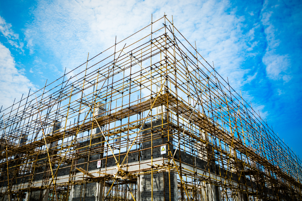


Construction, while vital for shaping our world, rarely unfolds without complications. Projects are often plagued by cost overruns, delayed timelines, labor shortages, and unexpected site conditions. Environmental concerns and regulatory compliance further complicate the process. Add challenges like material procurement delays or unforeseen structural issues, and even the best-laid plans can falter. For instance, imagine a foundation crew encountering waterlogged soil where blueprints promised solid ground. But what if we could foresee, track, and address these challenges from above? That’s where satellite data comes into play. Let’s explore how space technology can help construction teams and managers resolve significant problems.
Environmental Factors
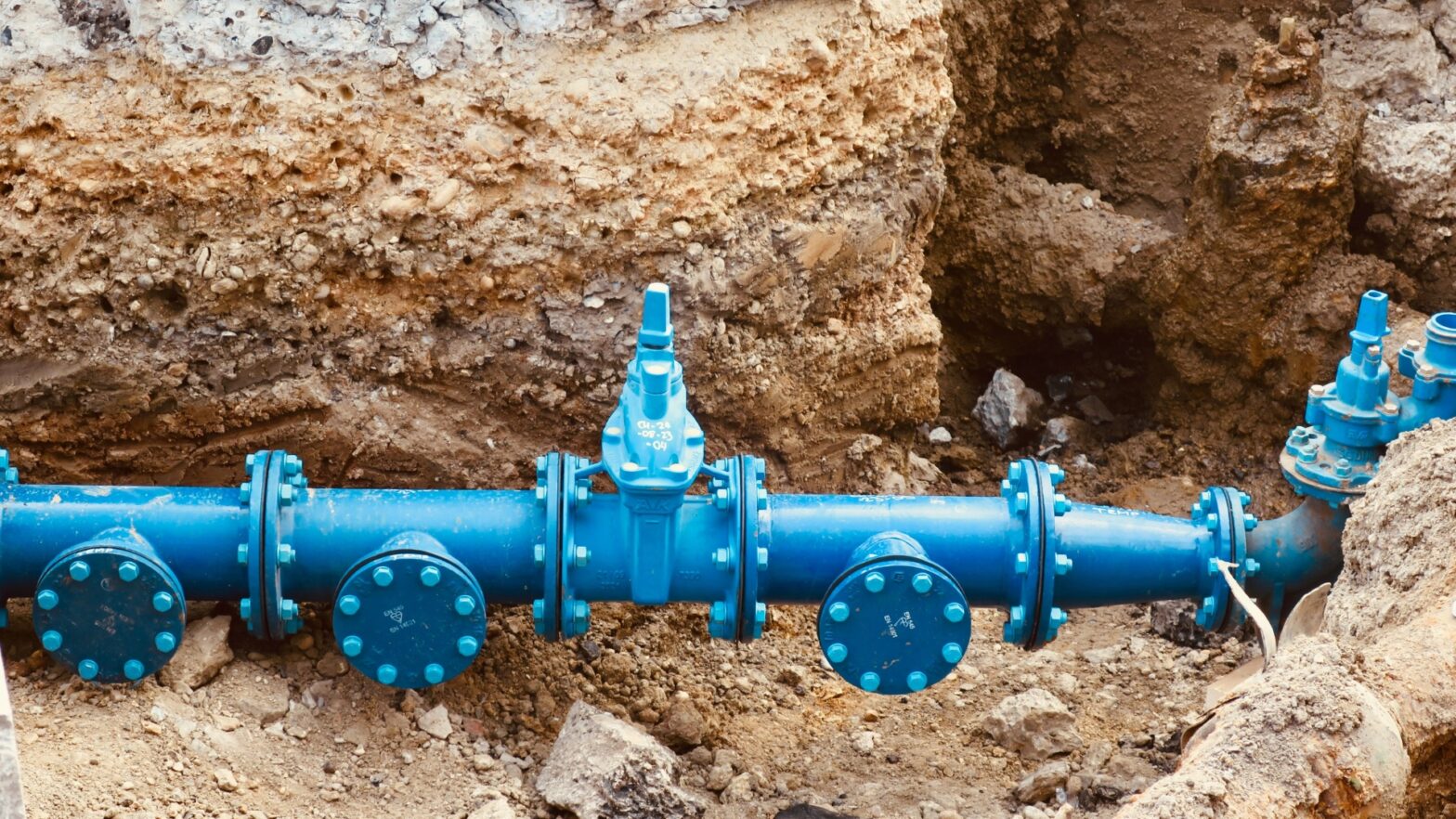
Construction sites face challenges from nature, which can be unpredictable. Heavy rain, flooding, unstable ground, and even unforeseen shifts in terrain can disrupt schedules and increase costs. Ignoring environmental compliance can result in large fines and lasting harm to the ecosystem. For instance, building close to wetlands or areas prone to erosion without careful planning can turn a good project into a costly mistake.
This is where satellite data is helpful. High-quality satellite images of the earth and remote sensing technology provide detailed insights into the topography, soil conditions, and vegetation patterns. Satellite data allows us to spot flood areas, evaluate land stability, and forecast erosion risks, helping ensure that construction happens on safe ground. If you need to keep an eye on environmental compliance during the project, satellite data will help you track changes in land use and vegetation and flag potential issues early. The best part is that anyone can sign up for a subscription for satellite images. By seeing the big picture from above, builders can avoid nature’s pitfalls and construct with confidence.
Technology Adoption
The construction industry often falls behind other sectors in terms of using new technology. This happens due to high upfront costs, reluctance to change, and a mindset of “we’ve always done it this way.” Smaller companies may not have the resources to try new tools, while others worry that learning new systems will disrupt their tight schedules. The irony is that avoiding technology can lead to inefficiencies, expensive mistakes, and missed opportunities.
Satellite data is an excellent example of technology with transformative potential. It allows for accurate project planning by providing detailed site information, which reduces uncertainty and unexpected costs. Using satellite imagery to track progress helps avoid delays, keeping teams on schedule. If you want to use AI or IoT tools for maintenance, satellites can provide near real-time data about the environment and logistics. For example, a construction manager could prevent material shortages by looking at satellite-based supply chain data. Adopting these tools is not just about innovation; it’s essential for staying competitive.
Supply Chain Challenges in Construction
The construction supply chain can be like a shaky game of Jenga — one small delay can cause everything to topple. Common problems include material shortages, transportation delays, and unreliable suppliers. When you add global uncertainties like geopolitical tensions or pandemics, it can lead to situations where essential materials, like steel beams, are stuck at ports, putting project timelines at risk. For example, if you’re waiting for a concrete delivery and it gets delayed due to bad weather, it can be a costly problem.
This is where satellite technology comes in as a helpful ally. Near real-time satellite monitoring of shipments enables contractors to track materials as they move from one place to another. If there are delays, satellite data helps identify problem areas, making it easier to adjust plans. Moreover, earth satellite images help you evaluate road conditions and weather impacts, avoiding transport issues. With this aerial perspective, satellite tools make the construction supply chain more efficient and reliable.
Rethinking Risk Management in Construction
Building sites are inherently risky — heavy machinery, high scaffolding, and unpredictable site conditions make safety a constant concern. Human mistakes, unexpected issues like soil problems, and a tendency to take shortcuts can increase risks significantly. Just one mistake can result in injuries, delays, or expensive lawsuits. For example, consider a crane operator who misjudges the stability of the ground because the risks were not identified early on.
Using satellite data can lead to a smarter and safer way to manage these risks. High-quality daily satellite imagery and remote sensing technology can help evaluate site conditions in near real-time, spotting dangers like unstable soil, erosion, or flood risks before work begins. For ongoing projects, satellites can provide updates on progress, allowing teams to make timely changes to reduce risks. When preparing for severe weather, satellite data helps monitor trends, giving construction crews enough time to secure their materials and equipment. By offering a comprehensive view of potential risks from above, satellite technology helps construction managers prioritize safety without compromising efficiency.
In construction, challenges are inevitable — but so are solutions when you’re willing to look up, literally. From mitigating environmental risks to optimizing supply chains, embracing satellite data isn’t just futuristic — it’s practical. Imagine a project where delays are reduced, risks are managed, and resources are used wisely, all thanks to insights from space. Using satellite technology, the building industry can work more intelligently, safely, and quickly, turning challenges into improvement opportunities. The sky is not just a limit; it’s the beginning of better construction results.